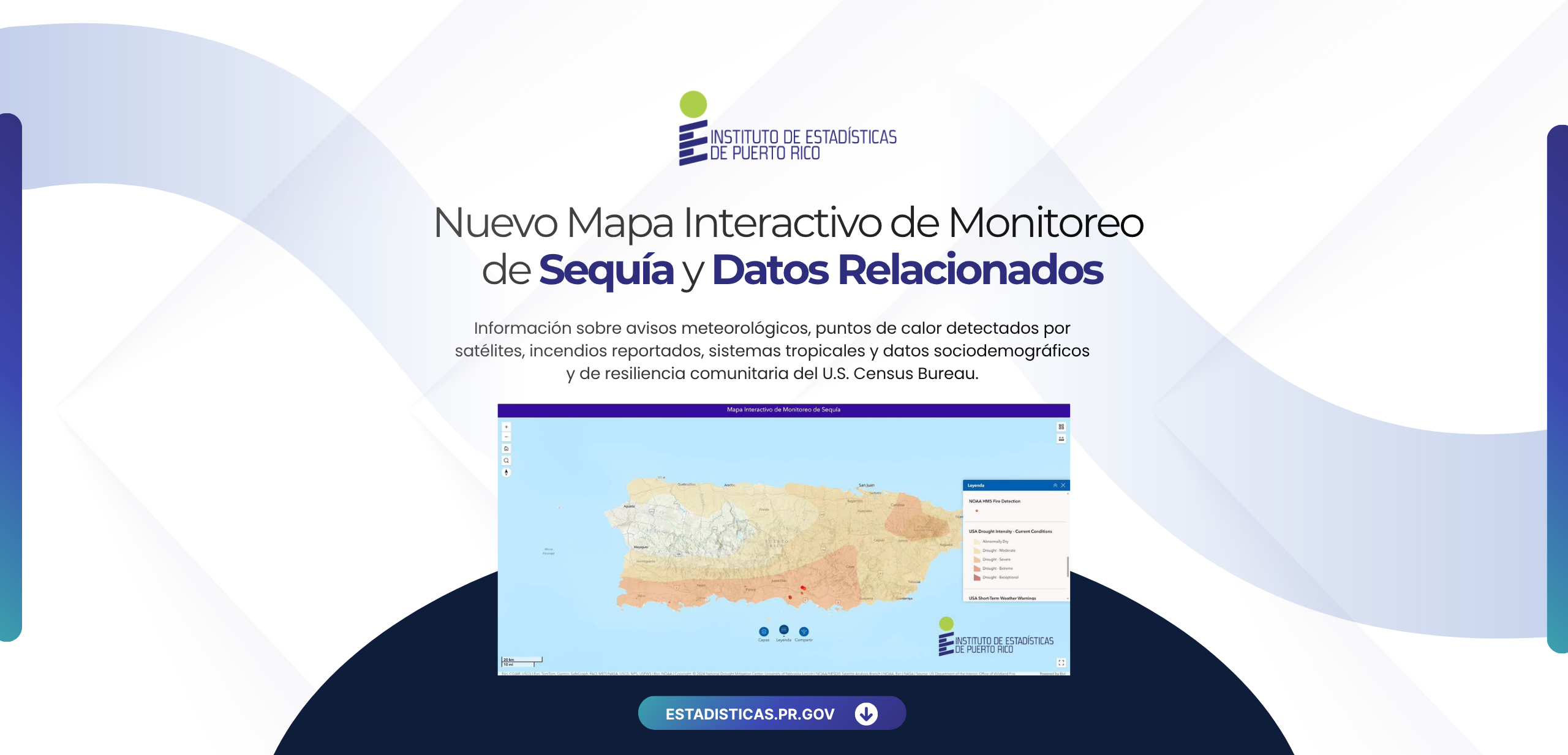

New Interactive Drought Monitoring and Related Data Map
This new tool from the Puerto Rico Institute of Statistics integrates information on weather alerts, satellite-detected hotspots, reported fires, tropical systems, and sociodemographic and community resilience data from the U.S. Census Bureau into a single location.
The primary purpose of this tool is to facilitate the monitoring of drought conditions and support planning, preparedness, and decision-making through updated geospatial information.
Explore the map at: www.estadisticas.pr.gov/productos/mapasequia
-p-130x130q80.png)
.png)
.png)
.png)
.png)
.png)
.png)
.png)
.png)
.png)
.png)
.png)


.png)
.png)
.png)
.png)